I’ve had some lovely messages on the subject of family names. A few weeks ago, we heard from Brian Reader who had ancestors called Rocious, Fera and Ellengor. Last week we also heard from David Severs, whose family passed down the biblical name ‘Lot’, and whose great grandfather James Foster was the boilerman at the local brewery in Thornton Le Moor. James’ employers had a daughter named Ethel Carlotta which is where David believes his great aunt Ada (the boilerman’s daughter) came across the fancy name ‘Carlotta’ which she chose for her own daughter and which handily incorporated the family preference of ‘Lot’. She called her son ‘Lancelot’, which she perhaps snaffled from the Arthurian legend for the same reason.
Vicky McDonald got in touch to say: “I have just read your article entitled “There’s a Lot in a name”. How fascinating and how strange that I should stare back at a photo of my Great Great Uncle Lance (or Lancelot as he is referred to in the article)! Lancelot married my maternal grandmother’s aunty (my Great Great Aunty Gladys). I have fond memories of them both.
“I would be grateful if you would be able to pass my email address on to David Severs mentioned in the article as it seems we are related. It would be lovely to get in touch with him.”
How wonderful that my little column is bringing families together! I have passed on Vicky’s email address to David and will let you know what transpires.
I also heard from Wendy Sissons: “Leedham as a middle name was passed down to the eldest son in my dad’s family. My dad’s dad was Ernest Leedham, his eldest brother was Eric Leedham and Eric’s eldest son, my cousin, is Paul Leedham.
“Funnily enough although my grandfather was Ernest, he passed that name onto my dad who was the third son after Eric and then Dennis. Presumably they didn’t like it enough to give to the eldest!”
Wendy is not sure where the name Leedham came from, but guesses it was the surname of an ancestor and adopted by their descendants at some point as a middle name to commemorate them.
Clare Proctor has an interesting story on the theme: “We don’t have unusual names in our family, but my Dad’s initials were A.A.P. so his four children were all given ‘A’ middle names. We are M.A.P., J.A.P., P.A.P. and C.A.P. Funnily enough, as my sister and I both married Ps, we remain so! Our two daughters have family names, but we chose them because we liked them, then made the link afterwards.”
Clare’s eldest daughter is Molly Paget after her mother’s name and mother-in-law’s maiden name. Her younger daughter is called Lily Alice-Rose which is a combination of both her and her husband’s grandmothers’ names.
Clare adds: “My friend knew a family in the USA with five daughters all named Mary, so there was Mary Jane, Mary Sue, Mary Ann etc!” Unless both parts of the name were used, it must have been very confusing when the postman delivered letters!
Is it something peculiarly American that we regularly see numbers after their male names? For example, former president Bill Clinton’s name at birth was William Jefferson Blythe III (i.e. the Third – he took his stepfather’s surname Clinton later in life). At birth, actor Will Smith was named Willard Carroll Smith II (i.e. the Second). This use of patronymic suffixes is considered a bit pretentious by we Brits because here, the convention is reserved for the Royal family and nobility only. Imagine if your relative started to refer to himself as ‘John Smith the Second’? We’d laugh him out of the building for getting ideas above his station wouldn’t we?
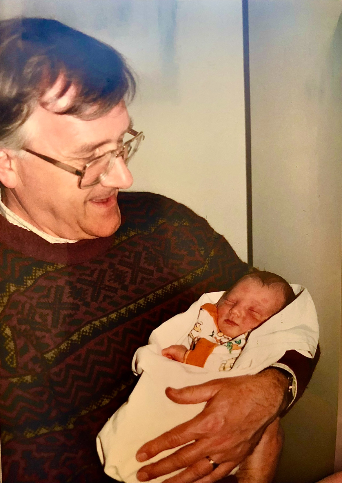
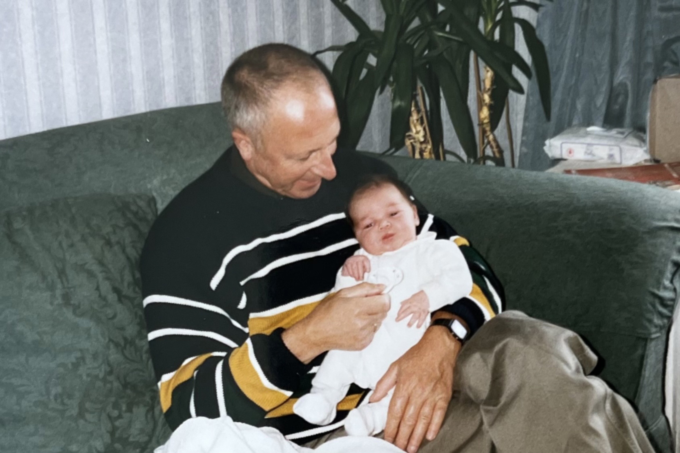
When it came to finding names for my own children, we did use some family names, although not with my eldest whose first and middle names were chosen simply because we liked them. Our second son had the same initials as his father and paternal grandfather because that was a tradition on that side of the family. Our youngest was named after my godfather and my dad, who were two of my favourite men of all time.
Do you have a story of an unusual way of choosing children’s names? Do get in touch using the methods below.
Do you have opinions, memories or ideas to share with me? Get in touch with me using the ‘Contact’ button on the top right.
This column appeared in the Darlington & Stockton Times on Friday 17th and the Ryedale Gazette and Herald on Wednesday 15th Oct 2025